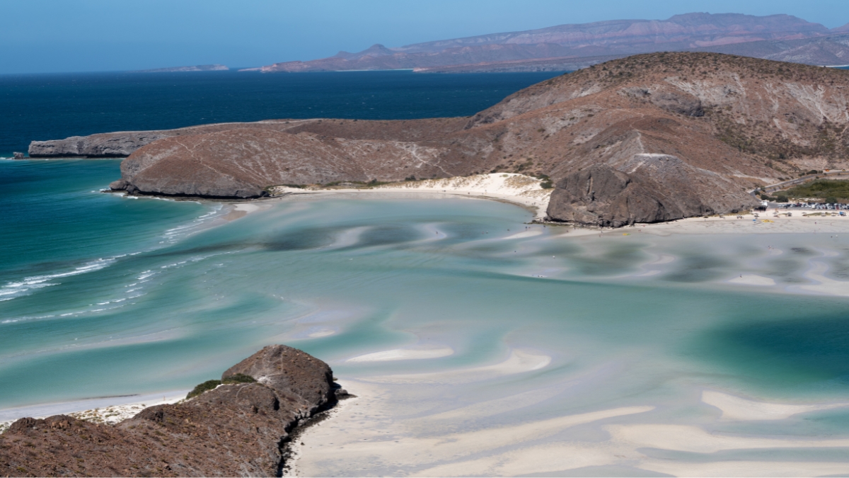
Where is Balandra Beach?
Balandra Beach is north of La Paz in Baja California Sur, Mexico, on the coast facing the Bay of La Paz. It is part of a protected bay with mangroves, hills and sandy coves. It is not in Cabo San Lucas or San José del Cabo, even though visitors often include it in a wider Los Cabos trip.
Our Balandra Beach overview covers the visitor sessions, entry process and things to do. This page focuses on locating the bay and choosing the right destination on a map.
Balandra on the map
Use “Playa Balandra” near La Paz as your destination and check that the pin shows the main public road entrance. The bay, protected area and individual coves cover more than one spot, so a general map pin for “Balandra” is not always a precise arrival point.
The map is useful for orientation. It does not establish a walking route across headlands, permission to enter a restricted area or the availability of a beach landing from a boat.
How far is it from La Paz?
The drive from central La Paz is roughly 25–30 kilometers and commonly around half an hour, depending on your starting point and traffic. Follow the coastal route toward Pichilingue and El Tecolote, then the signed approach to Balandra. Check a current navigation route before leaving.
That driving estimate does not include time arranging admission or waiting at the entrance. Match your travel plans to the session you intend to use rather than treating the journey time as your total commitment.
Where is it in relation to Los Cabos?
From Cabo San Lucas or San José del Cabo, you first need to reach the La Paz area and continue north to Balandra. Allow several hours each way and check the route from your actual accommodation. It is a substantial day trip, rather than a quick transfer between nearby Cabo beaches.
Our guide to getting to Balandra compares driving, public transport and organized trips, including return planning.
The bay, mangroves and surrounding coast

Balandra’s setting combines sandy shores, rocky headlands, mangroves and desert terrain. The shelter of the bay contributes to its appeal, but tides, wind and water depth still change. A sheltered location is not a promise of safe conditions throughout the bay.
Stay on authorized paths and keep sensitive areas undisturbed. Looking close together on a map does not make two coves safely accessible on foot or across the water.
Balandra and Tecolote are separate stops
Tecolote is nearby along the same coastal road, but it is a different beach with a separate arrival point. Confirm which beach a bus, taxi or tour is taking you to. A journey that passes Balandra is not the same as admission to its controlled public entrance.
Before choosing an arrival time, the Balandra entry-bracelet guide explains the current official fee, session information and documents to check.